- Home >
- Croix Bozon - lac de l'étroit. (Boucle.)
Croix Bozon - lac de l'étroit. (Boucle.)
Track information
Elevation (m)
:
1071
Distance (km)
:
9.8
Daily duration (minutes)
:
330
 Departure/Arrival
 Point of interest
Download
In short
- Type d'itinéraire :
- Levels of sporting experience :
- Level red – hard
- Pedestrian sports :
- Pedestrian sports
- Hiking itinerary
Description
- Period :
- Open year round
- Sitra promotion typology :
- Open air
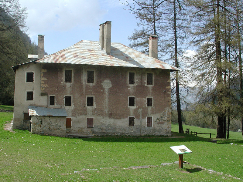
From the Moulin bridge and the Pont Romano in Nancroix (1,430 m)
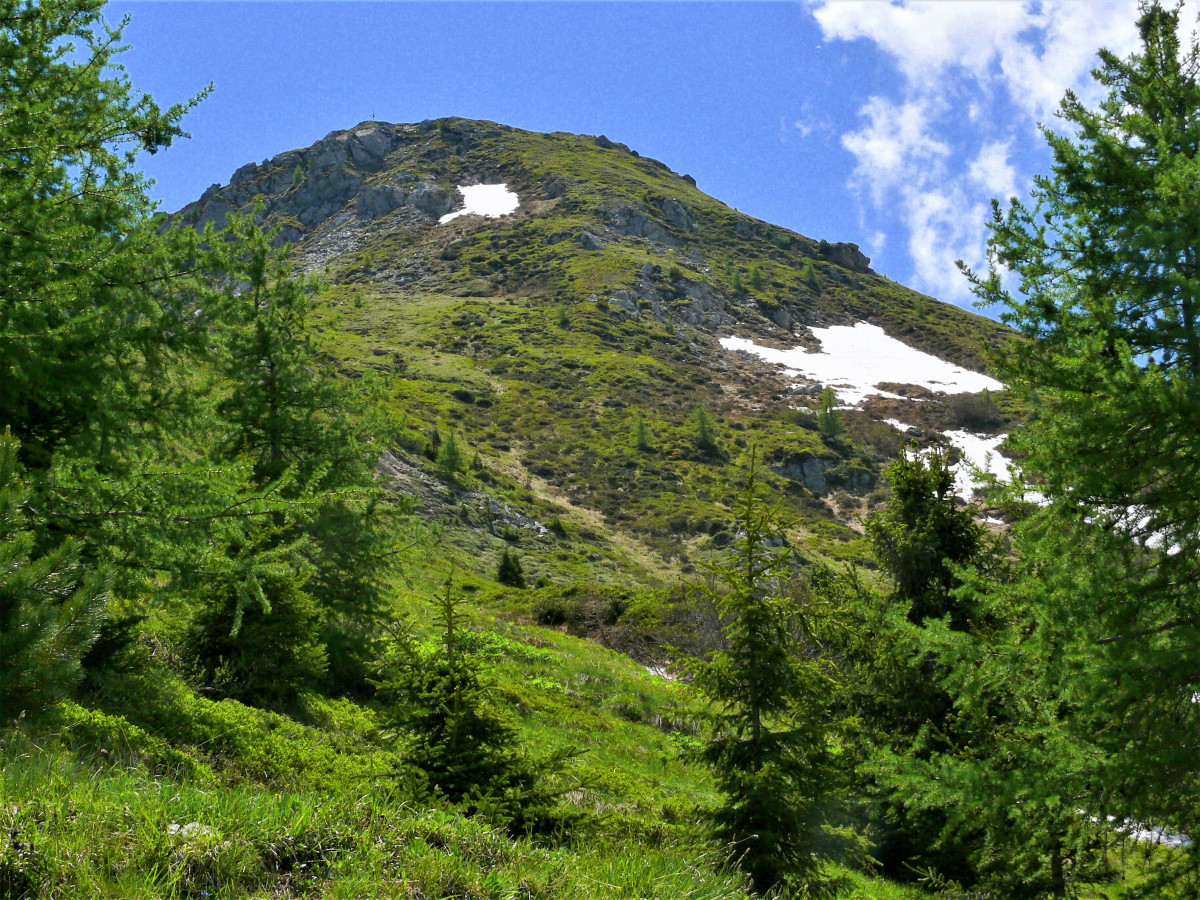
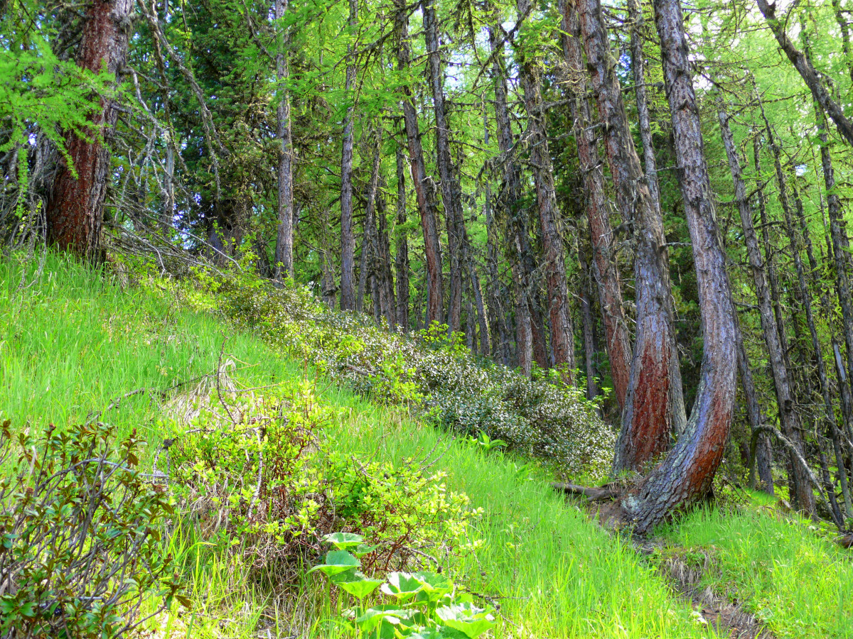
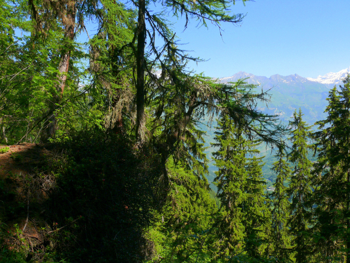
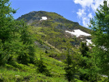
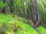
Reach the Bauches plateau (1,770 m). At the entrance to the clearing, take the path that heads due east. When it joins the ridge from which you can see the Peisey valley, it becomes steep until you leave the forest.
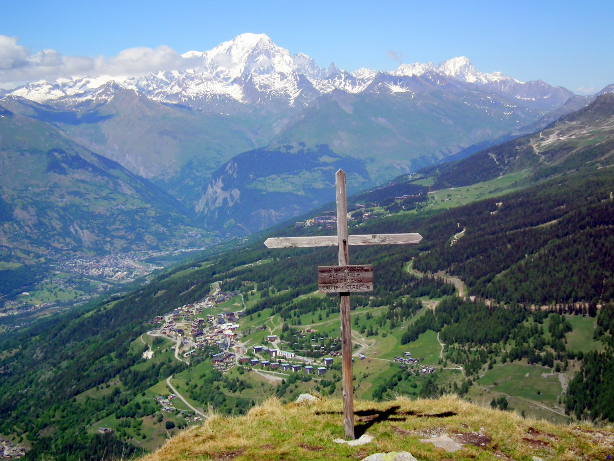
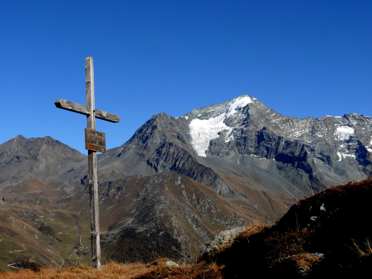
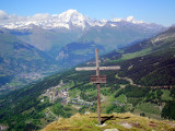
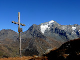
The cross is on a beautiful grassy promontory (2 100 m)
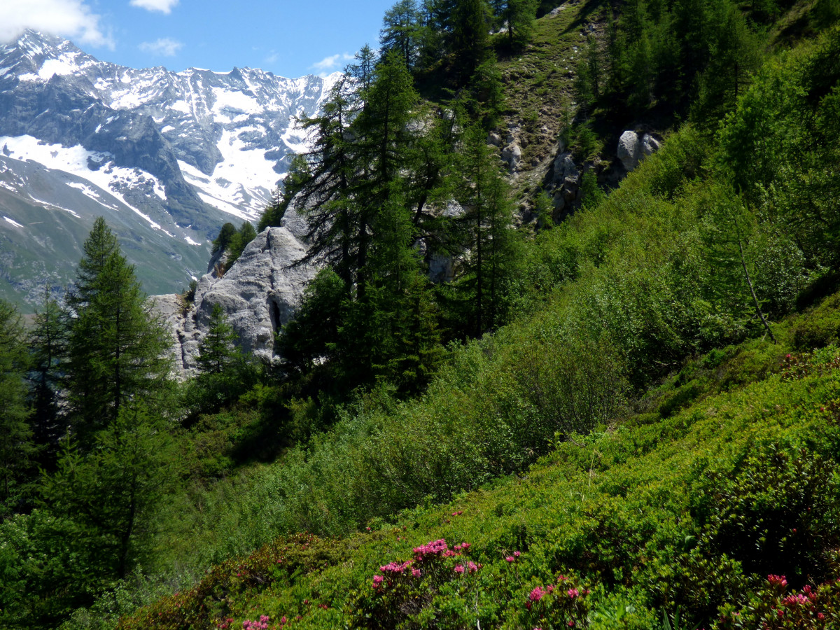
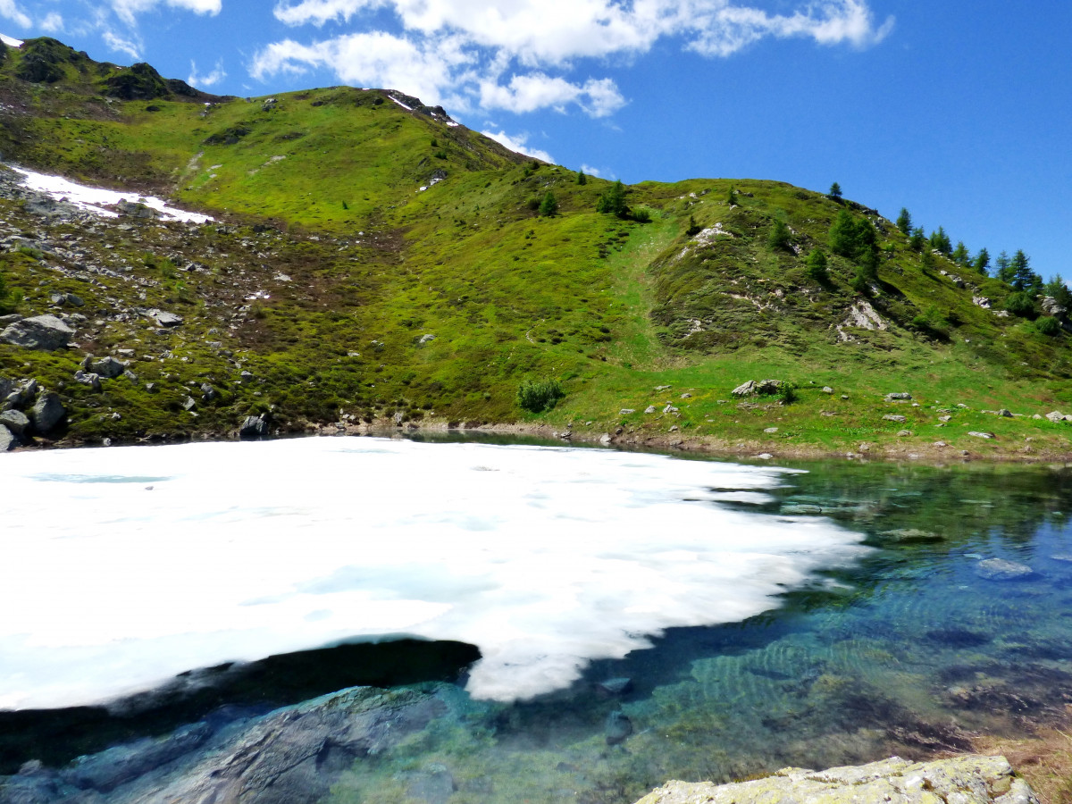
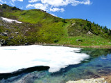
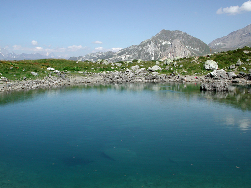
Go back down towards the Lac de l'Etroit (2,166 m) then take the fairly steep path downstream from this lake (the "Charentais" path) which leads back to the Pont Romano - Nancroix.
This loop can be done in the other direction!
Difficulties: difficult (difference in altitude, paths, aerial passages). No drinking water on the way.
Pics
Pics
We also suggest...


