- Home >
- Lac des Moutons - Grand Col (outward = return)
Lac des Moutons - Grand Col (outward = return)
Track information
Elevation (m)
:
524
Distance (km)
:
4.1
Daily duration (minutes)
:
120
 Departure/Arrival
 Point of interest
Download
In short
- Type d'itinéraire :
- Levels of sporting experience :
- Level bue - easy
- Pedestrian sports :
- Pedestrian sports
- Hiking itinerary
- Natures terrain :
- Not suitable for strollers
Description
- Informations Pratiques :
- Itinéraire balisé
- Sitra promotion typology :
- Open air
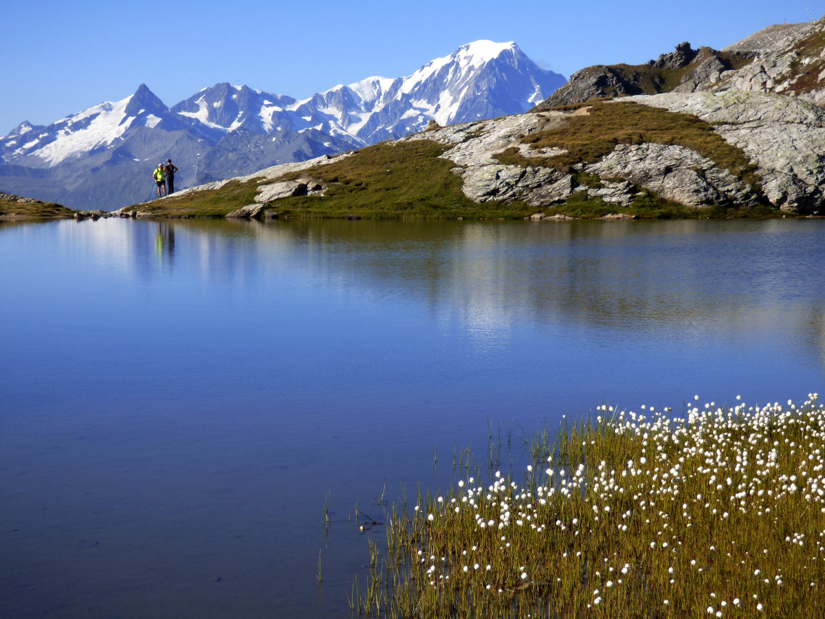
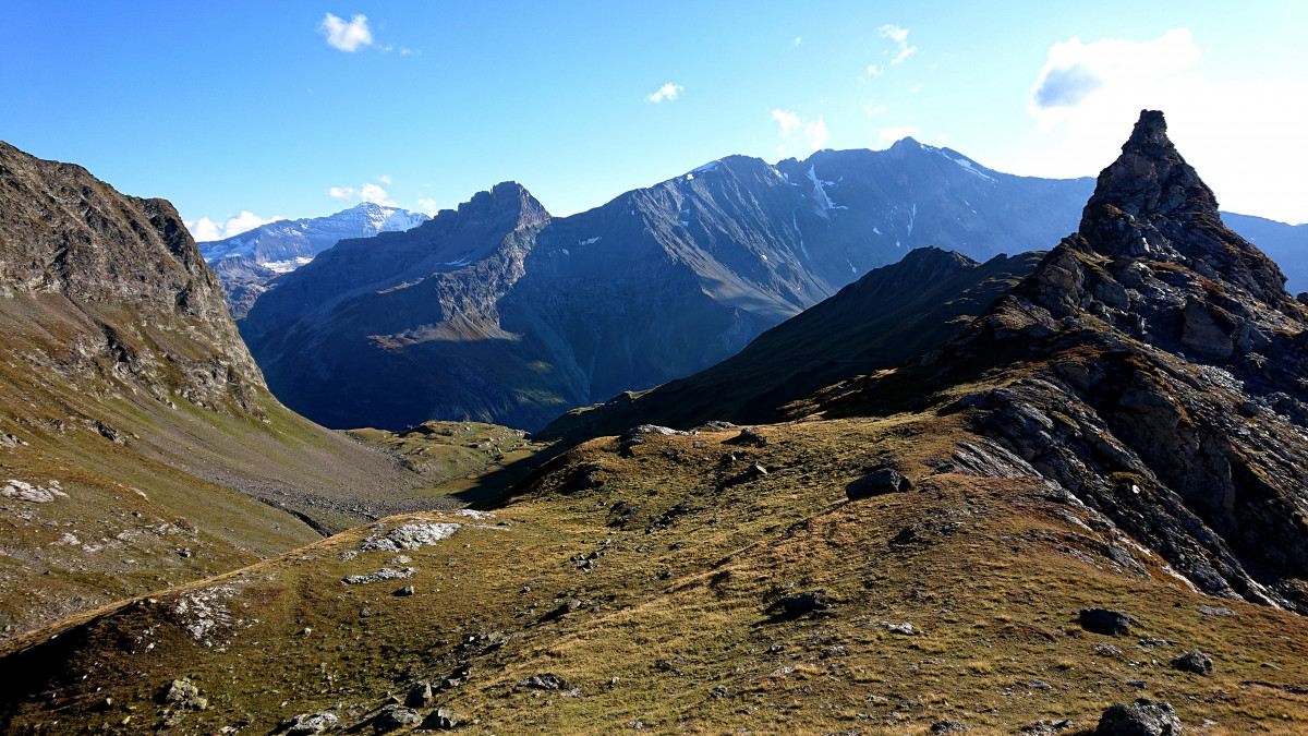
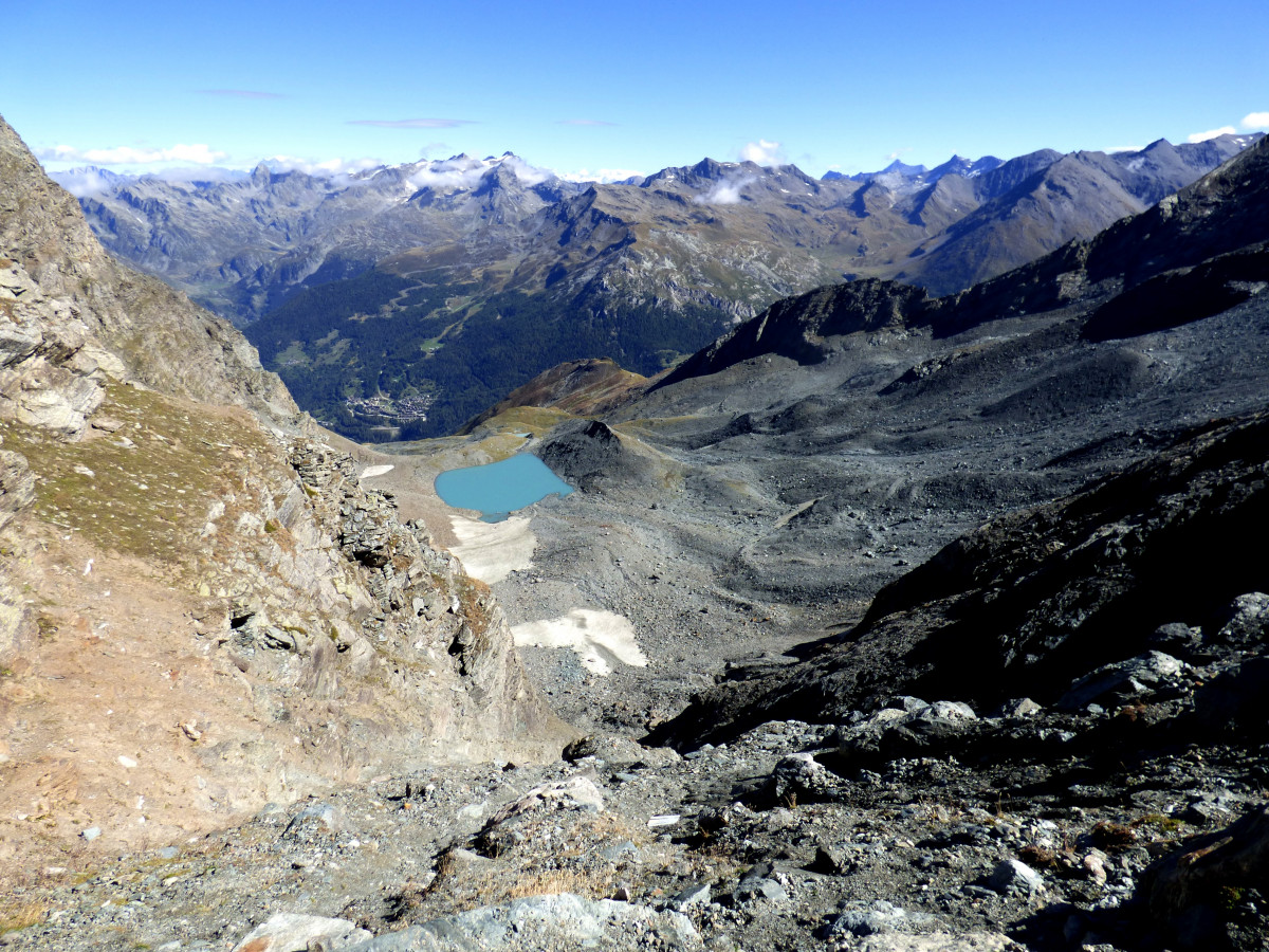
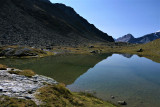
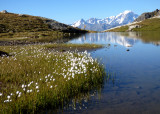
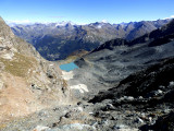
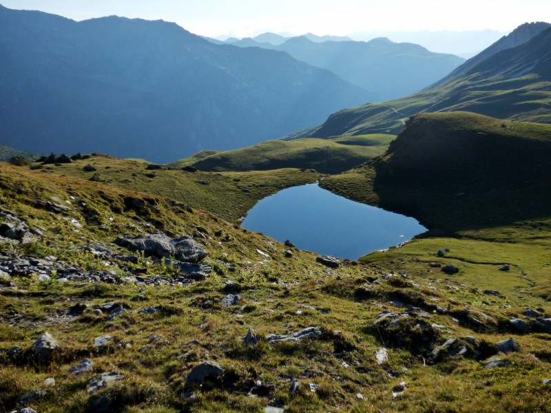
A mineral atmosphere between the Aiguilles des Arandelières and the Saint-Esprit. The opportunity to get close to a glacier. At the Passage, a wonderful little glacier melt lake
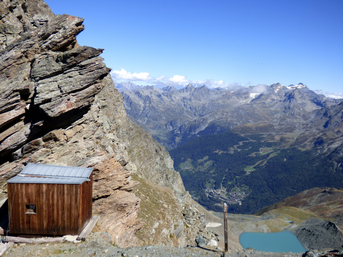
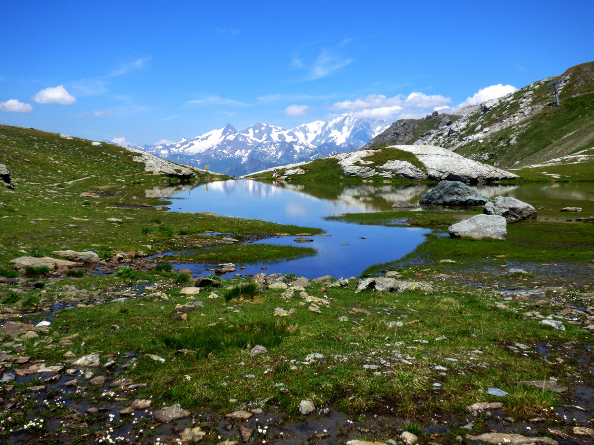
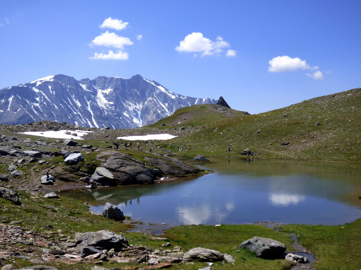
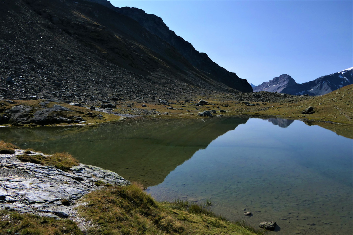
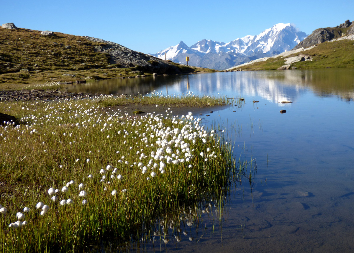
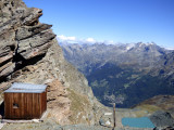
From the Col de la Chail (2,457 m) which is reached by descending from the arrival of the Transarc cable car (coming from Arc 1,800). Follow the path to the East, on the hillside towards the Lac des moutons (2 574 m). Find the path that is a little discreet at the beginning that goes straight up towards the Grand Col. The path follows a moraine under a chairlift. The beauty of the pioneer flora makes up for this disadvantage. At the pass (2,935 m): a hut attached to the mountain by cables. Very nice view of a glacial lake on Villaroger. This once popular pass is now impassable since the glacier melted and a landslide occurred. Climb east for 200m to see the glacier up close. Beware of unstable moraine and rock falls!
Return by the same path.
Return by the same path.
Pics
Pics
We also suggest...
 👉 Limited spots (200 participants) – don’t wait too long!

