- Home >
- Le Ponturin
Le Ponturin
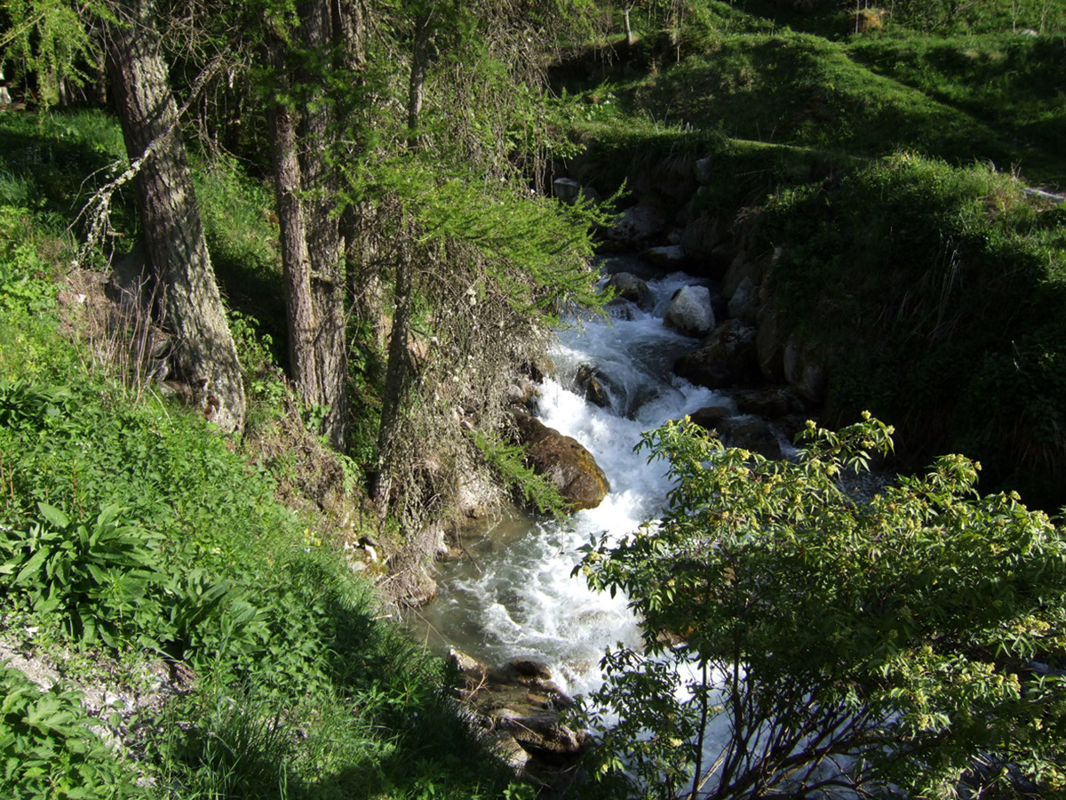
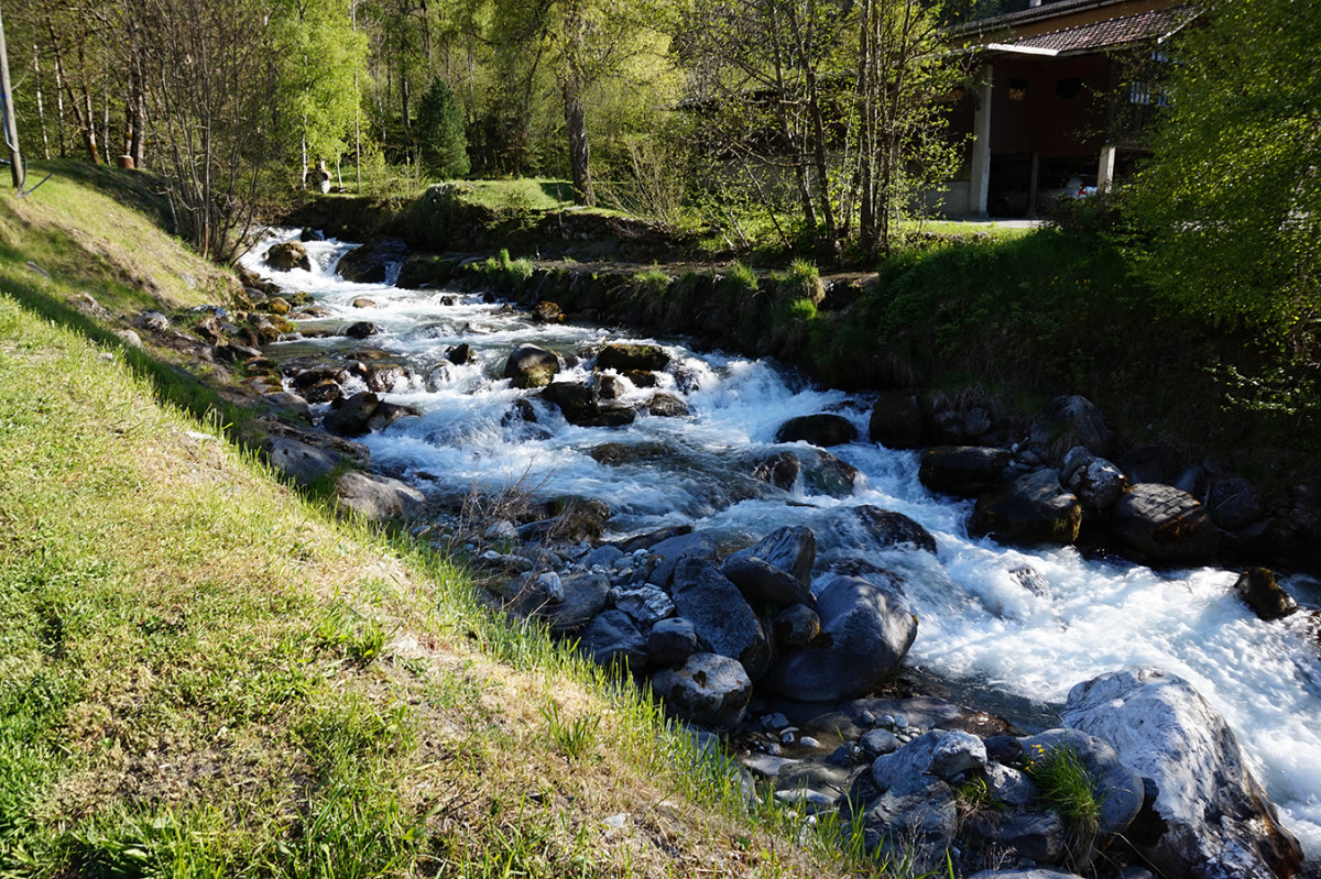
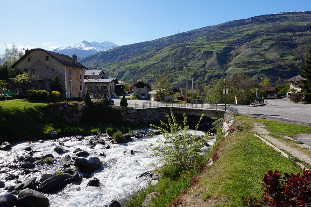
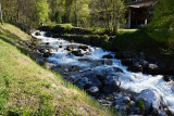
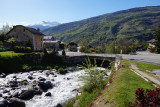
The Ponturin begins its course at La Plagne's lake, on the border of the Vanoise national Park. It's wellknown to local fishermen or holiday makers.
This stream gave its name to the valley, begins its course at 2144 meters and flows into the river Isere at Landry, located at 745 meters. Different species of trouts make bring joy to fishermen. Walkers like the shadow and the freshness along the Ponturin, between Moulin and Pont Baudin, on the GR5.
Description
- Water :
- River
Destination
Le Ponturin
73210
Peisey-Nancroix
GPS coordinates
Latitude : 45.486437
Longitude : 6.840361
