- Home >
- TMP Le tour du Mont Pourri
TMP Le tour du Mont Pourri
Track information
Elevation (m)
:
3022
Distance (km)
:
47.88
Wandering duration (days)
:
5
 Departure/Arrival
 Point of interest
In short
- Type d'itinéraire :
- Durée :
- Long Trek sur plusieurs jours
- Levels of sporting experience :
- Level black - very hard
- Pedestrian sports :
- Pedestrian sports
- Hiking itinerary
Description
- Period :
- Autumn
- Summer
- Winter
- Spring
- Open year round
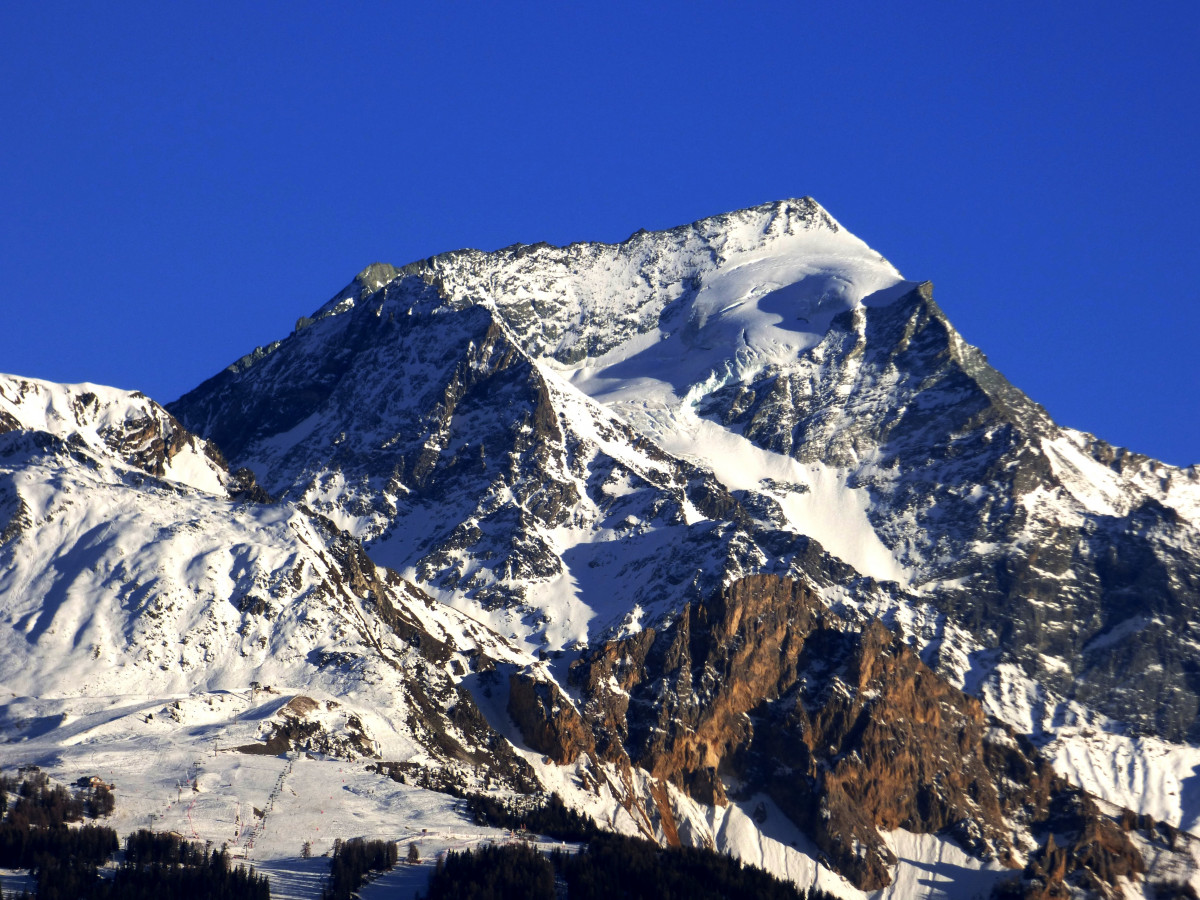
The Mont Pourri is the highest point and the tutelary massif of the Haute-Tarentaise. 50 km of walking from the mountain pastures to the glaciers.
The summit (3 779 m) is between the communes of Peisey-Nancroix and Villaroger. It was "conquered" by Michel Croz, a Chamonix guide, in October 1861.
The south and west faces are in the heart of the Vanoise National Park. This 5 day trek takes you through the most beautiful landscapes of the Haute Tarentaise.
1st day: departure from Rosuel. and climb to the Plagne lake
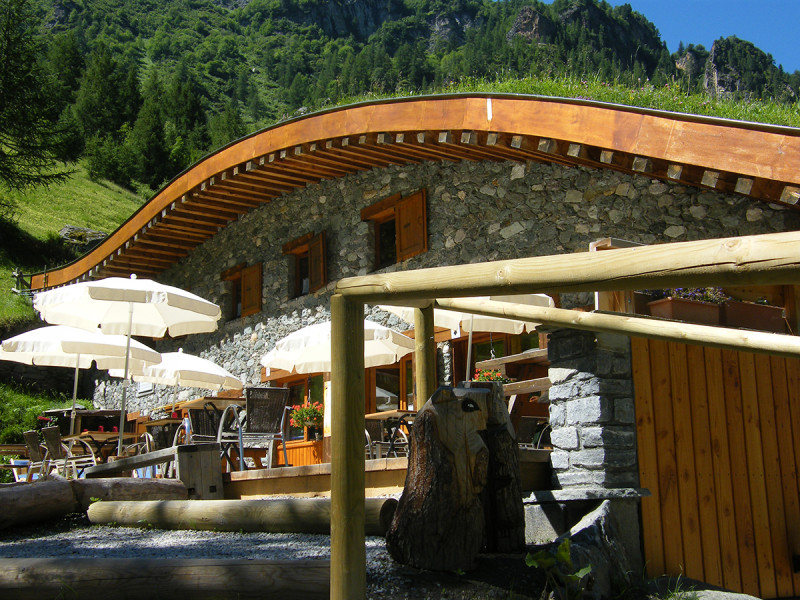
1st night: Entre-le-lac refuge
2nd day of walking: col and valley of la Sachette (PNV and Tignes nature reserve)
2nd night: La Martin refuge
3rd day's walk: crossing between the northern glaciers and the village of la Guraz (Hauts de Villaroger nature reserve)
3rd night: Thuria refuge
4th walking day: Arc 2000, col de la Chail, col de la commune.
4th night: Mont Pourri refuge
5th day's walk: descent to Rosuel
Pics
Pics
We also suggest...


