- Home >
- Landry - Montvenix
Landry - Montvenix
Track information
Elevation (m)
:
492
Distance (km)
:
3.7
Daily duration (minutes)
:
150
 Departure/Arrival
 Point of interest
Environments
- Environnements :
- Forest location
- Mountain location
Download
In short
- Type d'itinéraire :
- Durée :
- 1 demi-journée
- Levels of sporting experience :
- Level red – hard
- Pedestrian sports :
- Pedestrian sports
- Hiking itinerary
Description
- Informations Pratiques :
- Itinéraire balisé
- Period :
- Autumn
- Summer
- Spring
- Sitra promotion typology :
- Open air
- Recommended by high heat
- Passages delicats :
- Au printemps, la fonte des neiges peut rendre délicate la traversée du dernier ruisseau avant Montvenix.
- In springtime, due to snow melt, crossing the last brook before Montvenix can be difficult.
- Im Frühling, Schneeschmelze kann die Überquerung des Baches vor Montvenix schwierig sein.
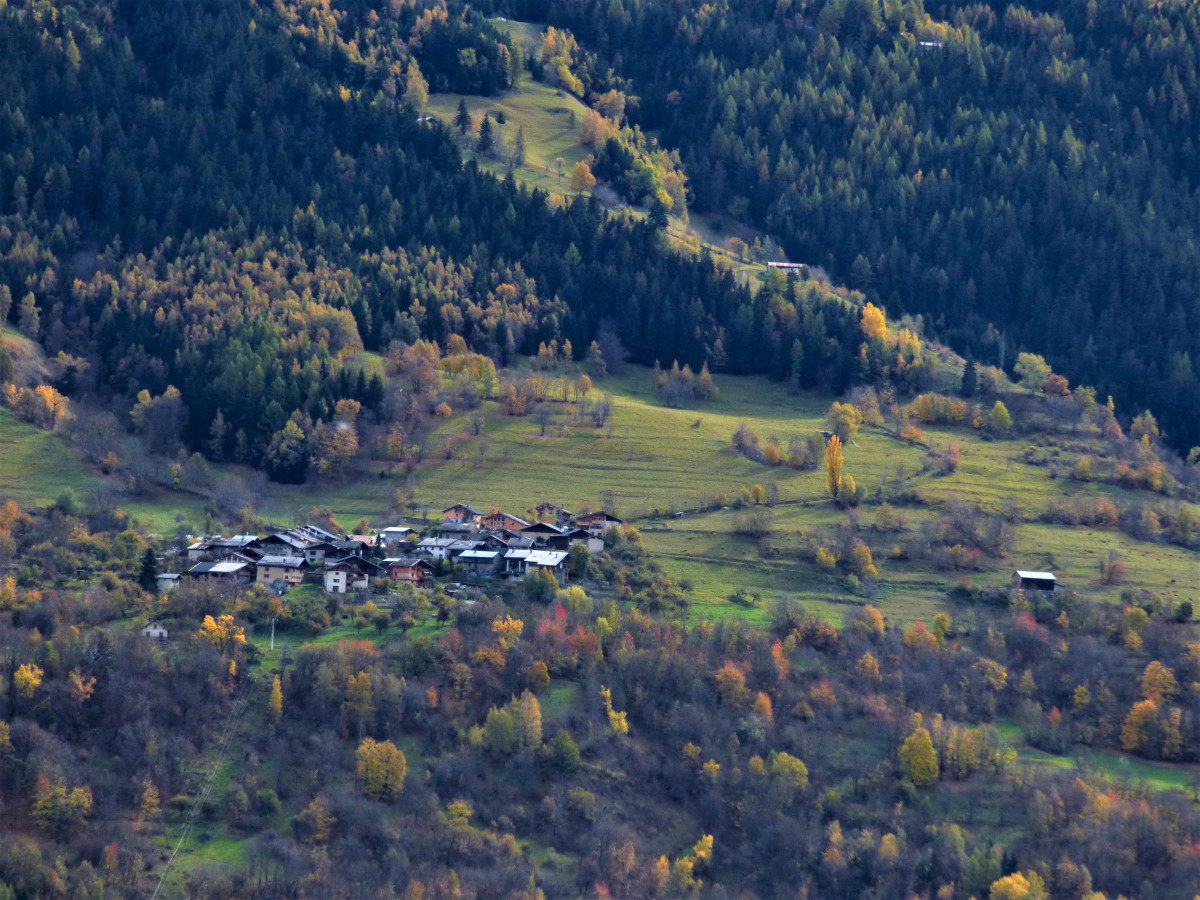
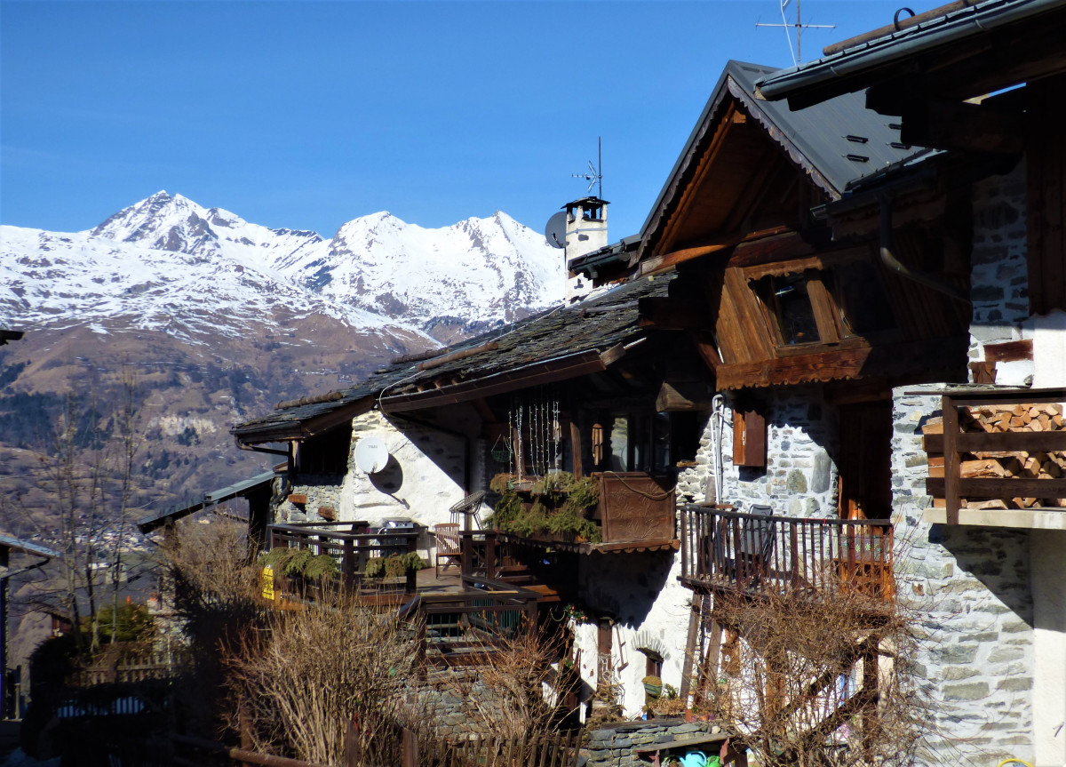
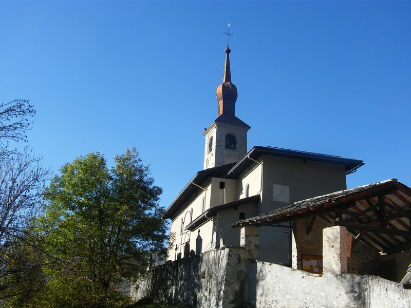
Nice stroll starting from Landry's church. Discovery of the surroundings hamlets. Well shaded road, follow the signs.
From Landry's church, take the path climbing on the right.
It sometimes crosses the road until "le Martorrey", crossing the hamlet of "la Vignerie". From "le Martorrey", well shaded path. Follow the signs until "Montvenix".
It sometimes crosses the road until "le Martorrey", crossing the hamlet of "la Vignerie". From "le Martorrey", well shaded path. Follow the signs until "Montvenix".
Pics
Pics
We also suggest...


