- Home >
- Le grand Balcon
Le grand Balcon
Track information
Elevation (m)
:
417
Distance (km)
:
14
Daily duration (minutes)
:
330
 Departure/Arrival
 Point of interest
Environments
- Environnements :
- Mountain location
Download
In short
- Type d'itinéraire :
- Durée :
- 1 à 2 heures
- Levels of sporting experience :
- Level bue - easy
- Pedestrian sports :
- Pedestrian sports
- Hiking itinerary
Description
- Informations Pratiques :
- Itinéraire balisé
- Period :
- Autumn
- Summer
- Spring
- Sitra promotion typology :
- Open air
- Passages delicats :
- Panneaux routiers
- Street signs
- Straßenschilder
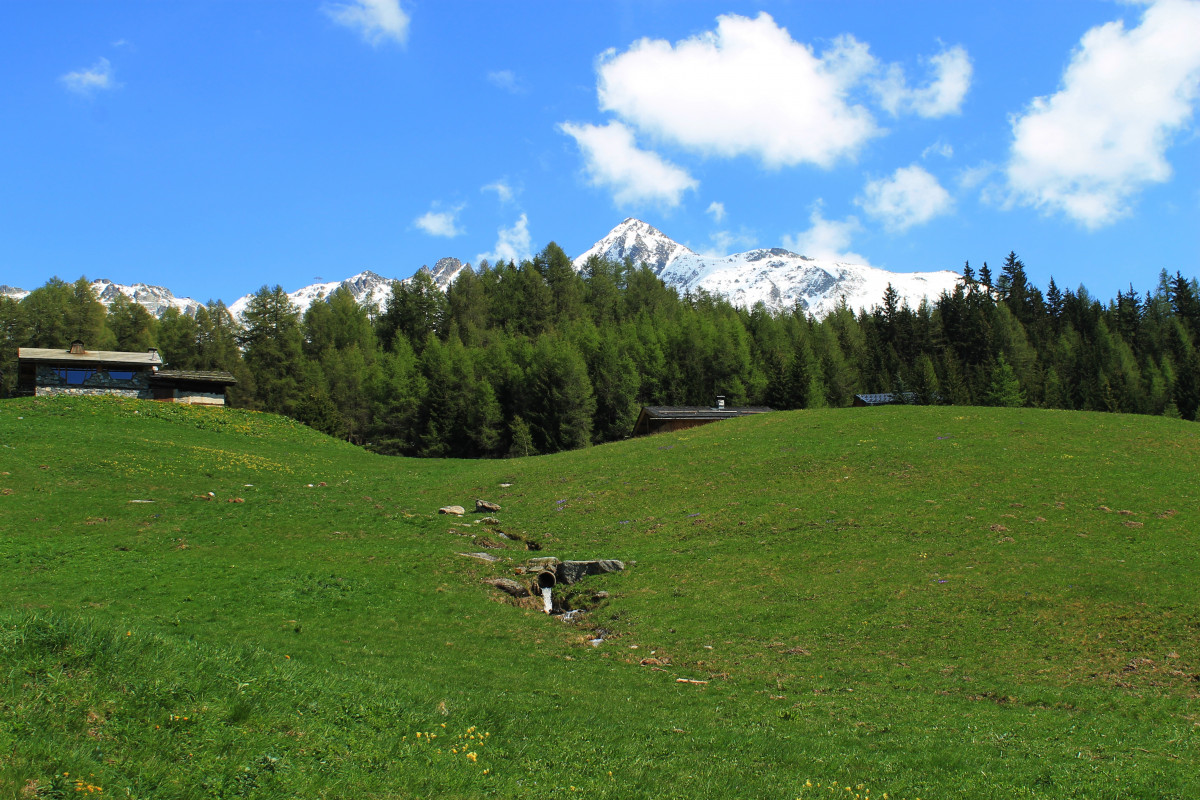
An ambitious hike that will be difficult to complete in a single day. But you can be satisfied with a portion! Forest, clearings and stations
The path is marked upstream from the station. It winds through the forest upstream of the route des espagnols. It passes through the commune of Bourg-St-Maurice before passing on the northern side of the massif to the beautiful village of Villaroger.
Duration: about 5 hours, difference in altitude: 750 m
Plan Peisey - Arc 1800: difference in altitude 50 m, about 1 h
Arc 1800 - Arc 1600 : difference in altitude 200 m, about 1 h
Arc 1600 - Villaroger : difference in altitude 450 m, about 2 h
Duration: about 5 hours, difference in altitude: 750 m
Plan Peisey - Arc 1800: difference in altitude 50 m, about 1 h
Arc 1800 - Arc 1600 : difference in altitude 200 m, about 1 h
Arc 1600 - Villaroger : difference in altitude 450 m, about 2 h


