- Home >
- Hike with a donkey and overnight stay in a mountain hut
Hike with a donkey and overnight stay in a mountain hut
Sporting activitiesContact
Au Baudet Malin
Contact
Chalet LAKOTA
route de la corbassière
73210
Peisey-Nancroix
- Spoken language(s) :
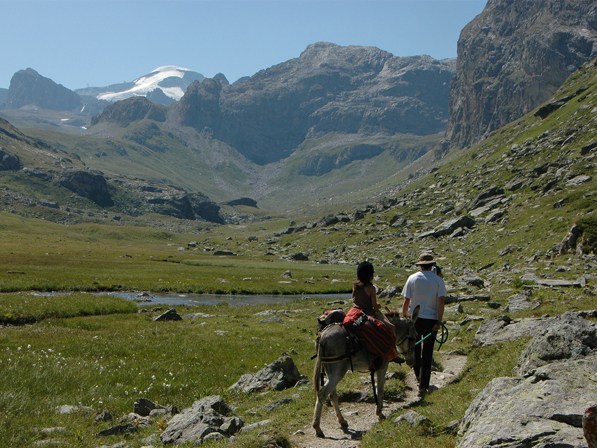
Experience the mountain life differently by hiring a nice companion.
2-day hike and stopover gite in a mountain hut.
2-day hike and stopover gite in a mountain hut.
Capable of carrying your children or your backpacks, they will take you on prepared and marked out circuits.
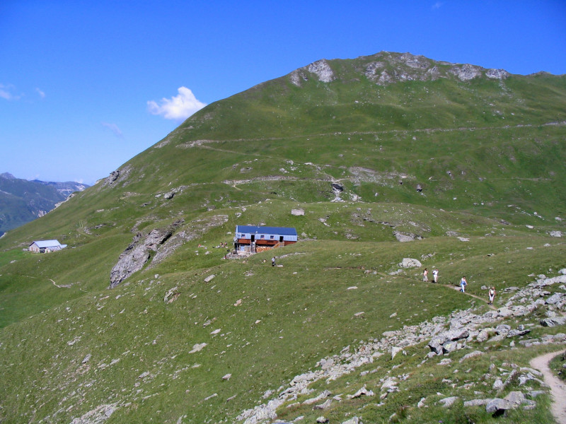
- Chamois Circuit - overnight stay at Entre le Lac mountain hut
- Ibex Circuit - overnight stay at Mont Pourri mountain hut
- Wagtail Circuit - in Arc small valley - Bivouacikng for a night
- Two days at Le Col du Palet - overnight stay at le Col du Palet mountain hut
- Plaisance mountain hut.
The proposed donkey back riding are not accompanied, you will leave for autonomy, having received some explanations on the way of driving your donkey.
Booking and payment of the overnight stay in mountain huts must be payed by the hickers.
For good walkers only.
In short
- Informations activite :
- 2 day (s)
- Services :
- 7 yrs old min
Description
- Grouping by age (EN) :
- Teenagers
- Children
- Pedestrian sports :
- Pedestrian sports
- Donkey trekking
Tarifs
Prices not available. Price list available for download.
- Payment methods :
- Cheque
- Cash
Destination
Chalet LAKOTA
route de la corbassière
73210
Peisey-Nancroix
GPS coordinates
Latitude : 45.524811
Longitude : 6.791031
Localization details
- Environnements :
- Mountain location
We also suggest...
-
- 300 minutes
- 948 m de dénivelé
- 10.3 km
