Station -la Maîtaz - le Rey

  • Pédestre
  • Level bue - easy
Track information
Elevation (m) : 552
Distance (km) : 8
Daily duration (minutes) : 180
loading
- Departure/Arrival
- Point of interest
Circuit n° 1
Environments
  • Environnements :
    • Mountain location
In short
  • Type d'itinéraire :
    • Pédestre
  • Durée :
    • 1 demi-journée
  • Levels of sporting experience :
    • Level bue - easy
  • Pedestrian sports :
    • Pedestrian sports
    • Hiking itinerary
  • Ouvertures complementaires :
    • Subject to favorable weather
Description
  • Informations Pratiques :
    • Itinéraire balisé
  • Period :
    • Autumn
    • Summer
    • Spring
  • Sitra promotion typology :
    • Open air

Take the road that climbs behind the tourism office, then first left (route des espagnols).
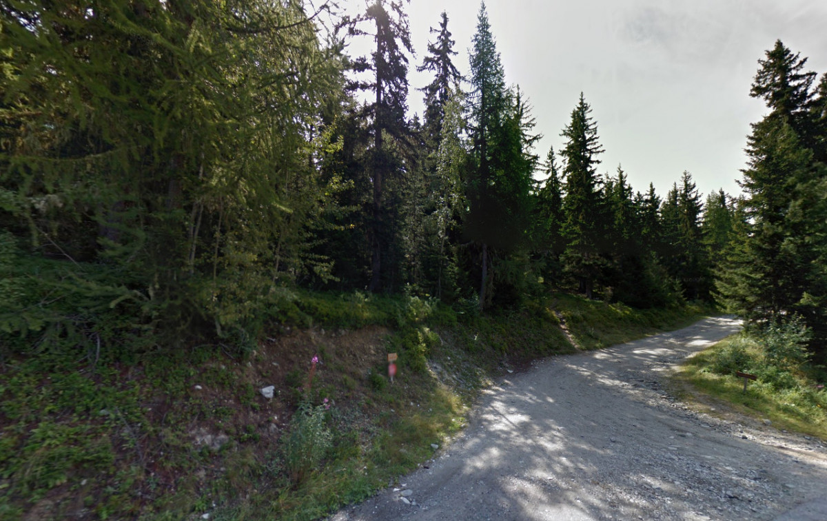
Pass the tennis courts (on the left below the road), and follow until a crossroad. Take the dust road on the right (follow the sign posts).

Pics

Pics

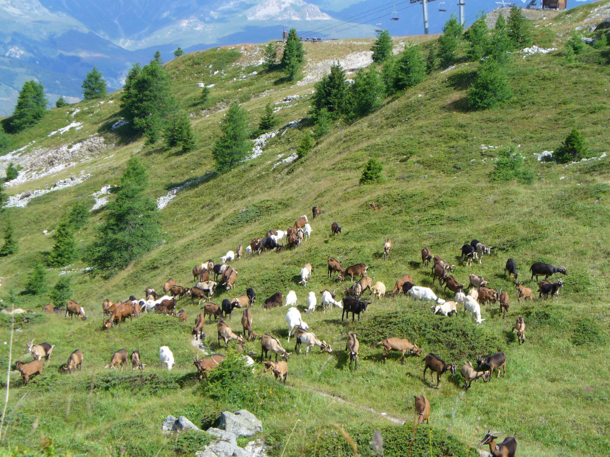
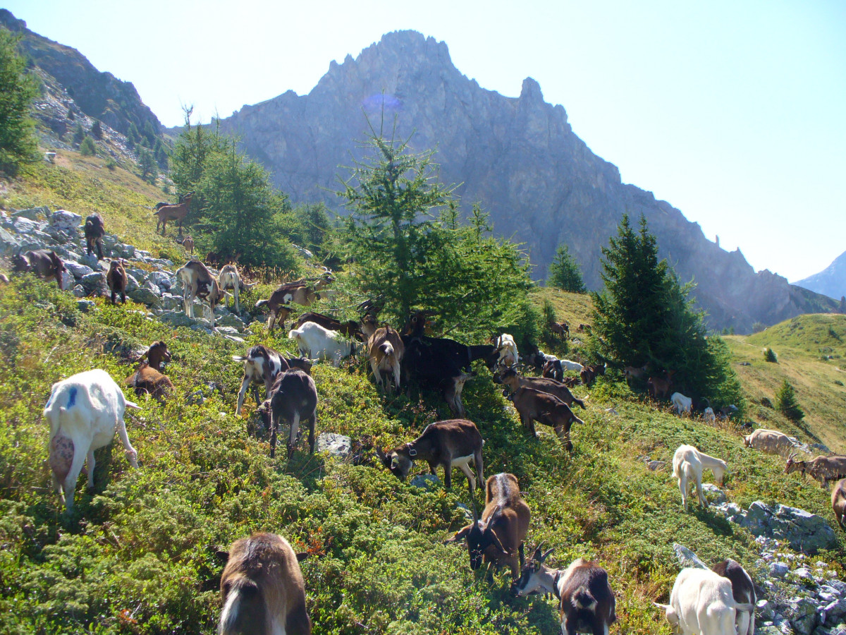
  • Paysage et chèvres
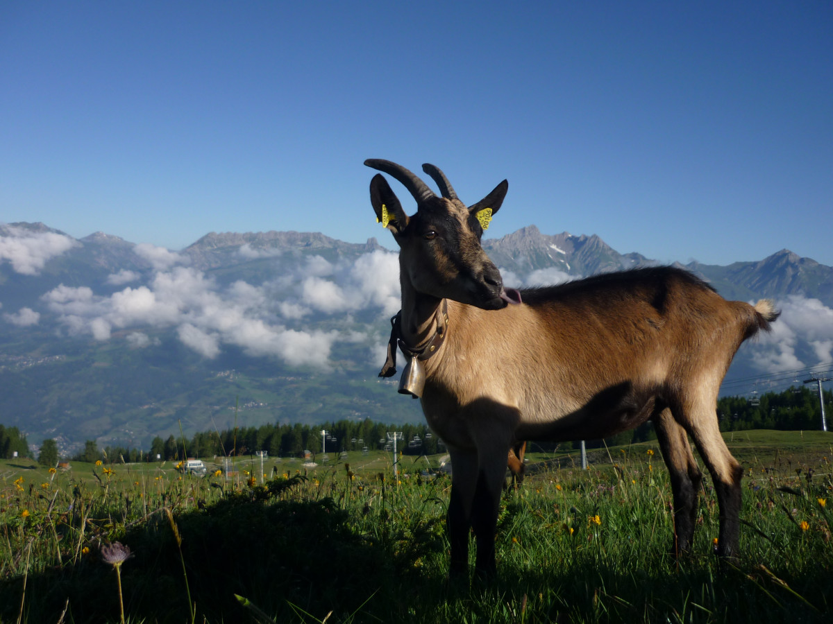
  • Chèvre à la bergerie du Rey
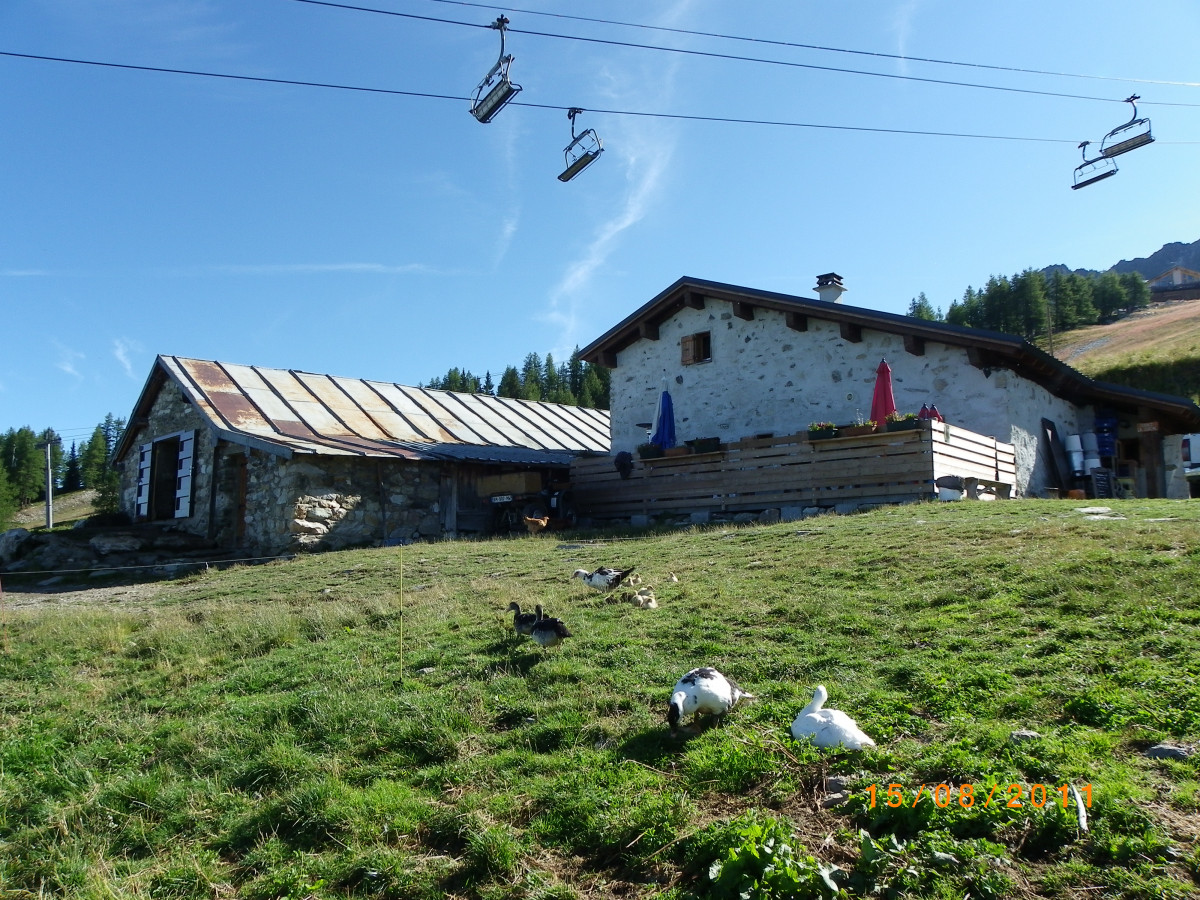
  • Plan-Peisey/Bergerie du Rey
  • Point de départ de la balade
  • Vue sur l'Aiguille Rousse
Paysage et chèvresChèvre à la bergerie du ReyPlan-Peisey/Bergerie du ReyPoint de départ de la baladeVue sur l'Aiguille Rousse
FICHE_INFO_SIMPLE_ECRIRE_MESSAGE
My request
Your Contact Details
In accordance with Law No. 78-17 of 6 January 1978 of the National Committee for Information Technology and Civil Liberties (CNIL) with regard to computing, files and liberties (article 36), the interested party is entitled to ask for his/her personal information to be rectified, completed, clarified, updated or deleted if it is inaccurate, incomplete, ambiguous, elapsed or in respect of which it is forbidden to use, disseminate or store said information. Should you wish to exercise this right, please specify the fact in the form above.
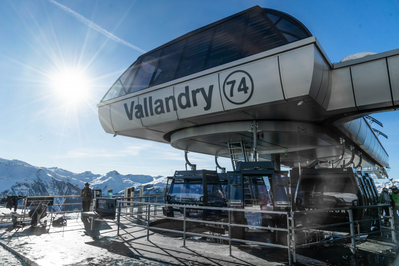
OT Peisey-Vallandry
Accueil
Phone : +33 4 79 07 94 28
We also suggest...