- Home >
- Hike to the mountain hut Le Mont pourri
Hike to the mountain hut Le Mont pourri
Track information
Elevation (m)
:
948
Distance (km)
:
10.3
Daily duration (minutes)
:
300
 Departure/Arrival
 Point of interest
Environments
- Environnements :
- Mountain location
Download
In short
- Type d'itinéraire :
- Levels of sporting experience :
- Level red – hard
- Pedestrian sports :
- Pedestrian sports
- Hiking itinerary
- Ouvertures complementaires :
- Subject to favorable weather
- Natures terrain :
- Rock
- Stone
- Ground
Description
- Informations Pratiques :
- Itinéraire balisé
- Period :
- Autumn
- Summer
- Winter
- Spring
- Open year round
- Sitra promotion typology :
- Open air
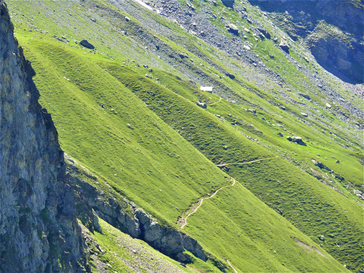
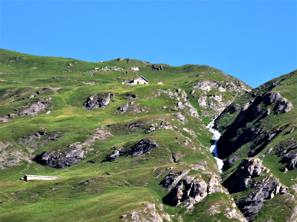
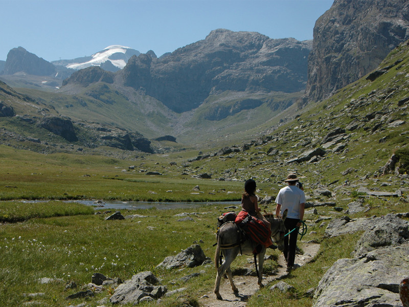
A beautiful panoramic climb in the heart of the Vanoise where chamois and ibex are not rare. And you can discover an unusual place that promotes mountaineering and who knows, your next adventure will be to reach the Mont-Pourri!
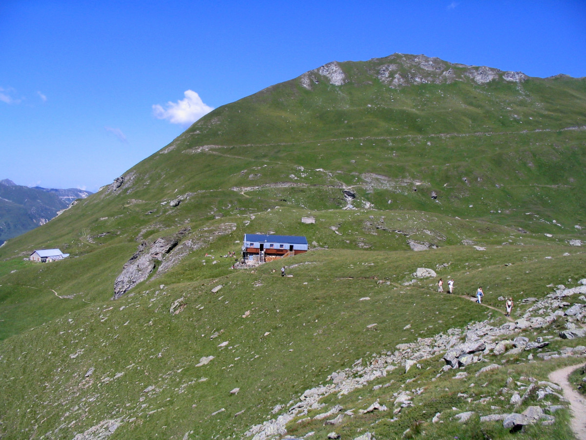
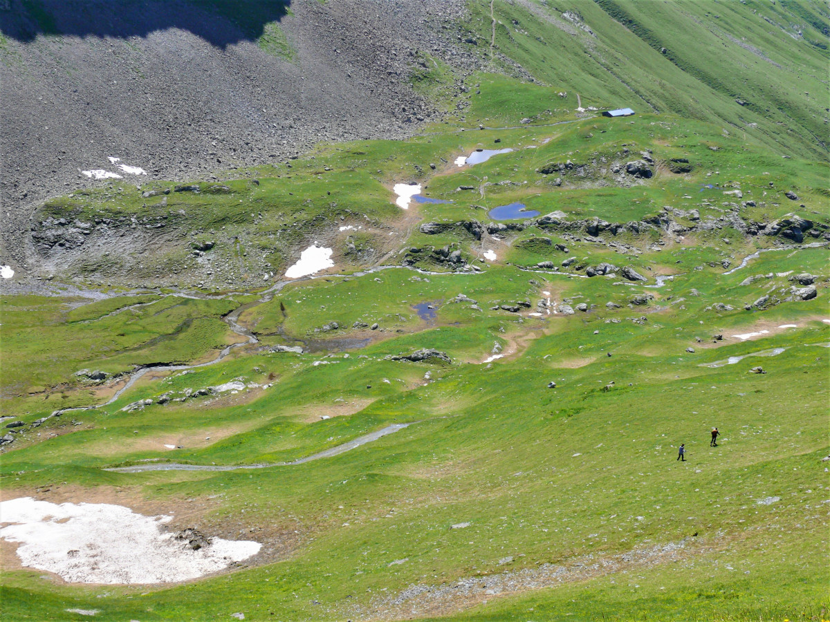
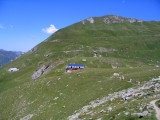
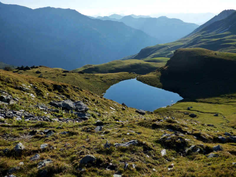
Discover the "real life" of mountain people by talking to the Sévalière alpagistes who will tell you, if you are lucky enough to meet them, some anecdotes about this very special life. And it is surrounded by herds of heifers that you will progress even higher to reach the Mont Pourri refuge where you will have a panoramic view of the north face of Bellecôte and the summits of the Vanoise. From here, a bearded vulture high in the sky is not to be excluded, as well as chamois and ibexes which, like you, will be delighted to refresh themselves by crossing the various nants. It is there that an eco-museum is perched recounting the exploits of the mountaineers of the Peisey valley: a must-see! And a short half-hour detour to the sheep lake is highly recommended as the cotton grass is so beautiful, like an army of small white balls reflected in the clear water.
Pics
Pics
We also suggest...
 👉 Limited spots (200 participants) – don’t wait too long!

