Le lac de la Plagne
Track information
Elevation (m)
:
702
Distance (km)
:
14.77
Daily duration (minutes)
:
300
Departure/Arrival
Point of interest
Circuit n° 1
Environments
- Environnements :
- Lakeside or by stretch of water
- Mountain location
- Close to GR footpath
- Waterside
Download
In short
- Type d'itinéraire :
- Durée :
- 1 demi-journée
- Levels of sporting experience :
- Level red – hard
- Pedestrian sports :
- Pedestrian sports
- Hiking itinerary
Description
- Informations Pratiques :
- Itinéraire balisé
- Period :
- Autumn
- Summer
- Spring
- Sitra promotion typology :
- Open air
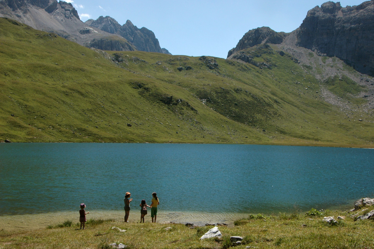
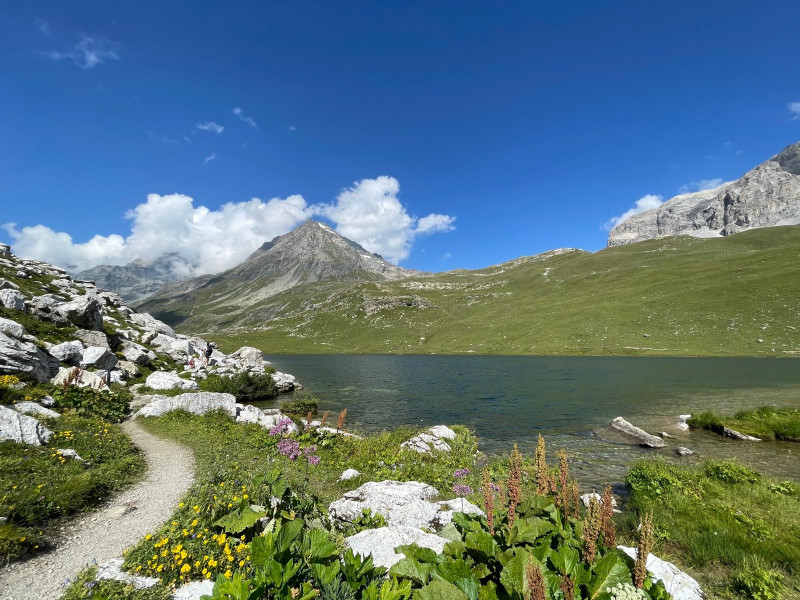
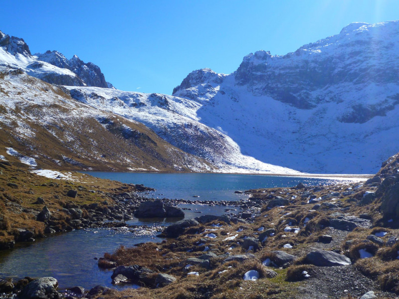
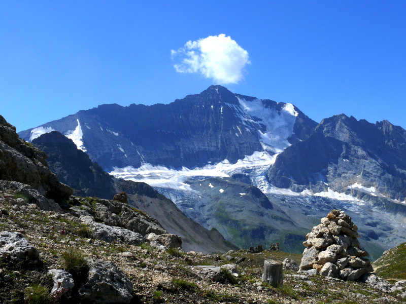
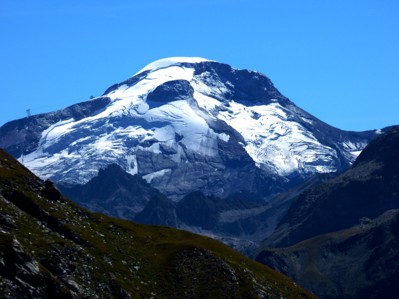
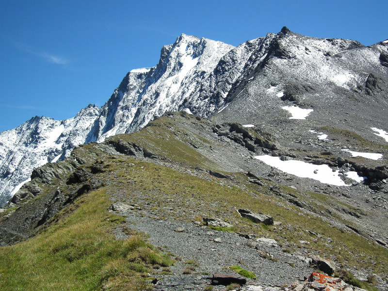
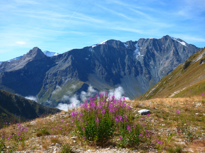
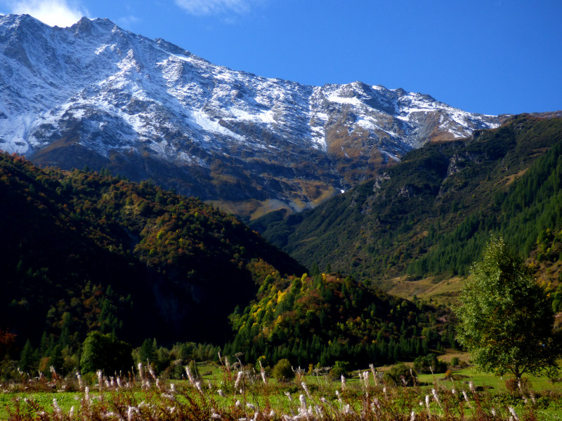
An azure-blue lake in which the snow-covered peaks are reflected, the sound of the tarine bells brightening up a truly mountainous atmosphere: you are in the heart of the Vanoise, as if isolated from the world, a place where contemplation is a must!
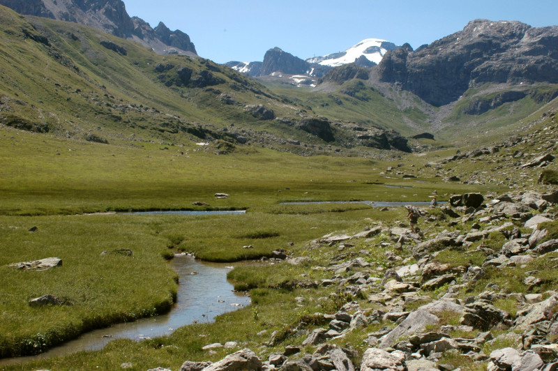
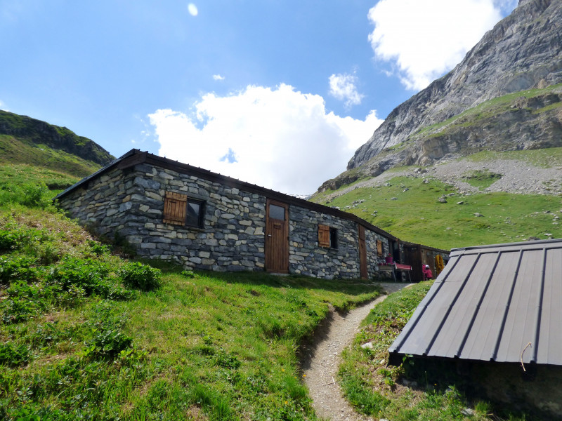
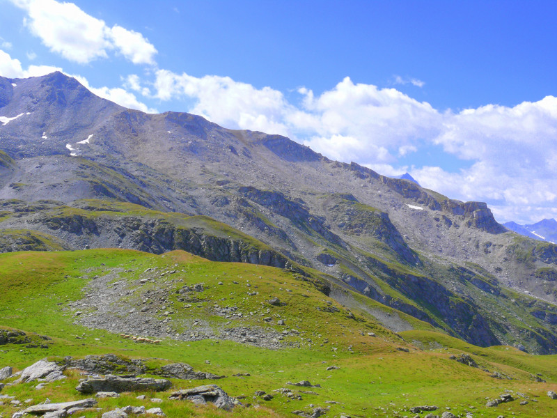
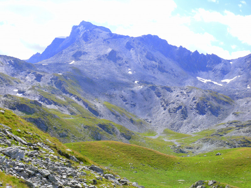
Taking a path to reach a high altitude lake is always an end in itself, but here the route is also part of the "journey": From the Rosuel refuge with its grass-covered roof and on this mythical GR5, imagine large rocky escarpments where you can guess the paths created by man in the rock itself, admire the numerous waterfalls which mark out the path, smell the Tarine cows tasting the green and fresh grass, You will be able to taste the exceptional Beaufort cheese from the mountain pastures, jump like a goat over the small meandering streams that feed the Ponturin and the numerous peat bogs, and finally reach the lake of La Plagne, in the heart of the Vanoise National Park, where rainbow trout fishing is a must. And let yourself be tempted by a mountain cuisine at the Entre-le-Lac refuge with, why not, a night in a yurt: the spleen is not far away! but you will have to come back down because the best things always come to an end.
Pics
Pics
OT Peisey-Vallandry
Accueil
Phone : +33 4 79 07 94 28
We also suggest...