- Home >
- Le plateau du Rey - Col de l'Entreporte
Le plateau du Rey - Col de l'Entreporte
Track information
Elevation (m)
:
1170
Distance (km)
:
12
Daily duration (minutes)
:
330
 Departure/Arrival
 Point of interest
Environments
- Environnements :
- Mountain location
Download
In short
- Type d'itinéraire :
- Durée :
- 1 demi-journée
- Levels of sporting experience :
- Level red – hard
- Pedestrian sports :
- Pedestrian sports
- Hiking itinerary
Description
- Informations Pratiques :
- Itinéraire balisé
- Aire pique-nique
- Sitra promotion typology :
- Open air
Equipment, Services
- Leisure facilities :
- Picnic area
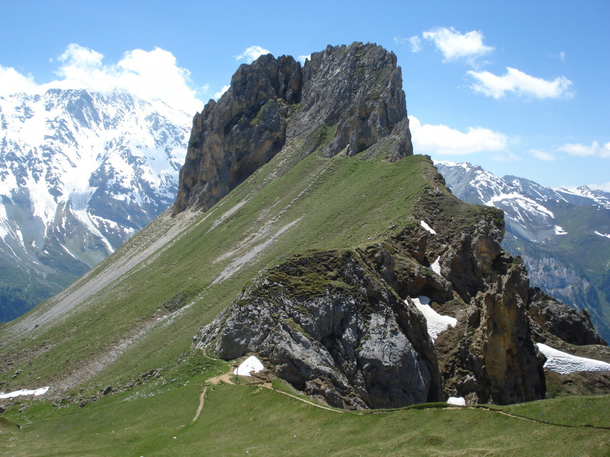
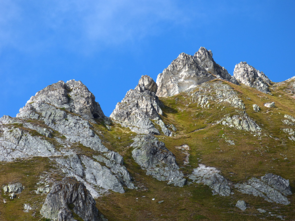
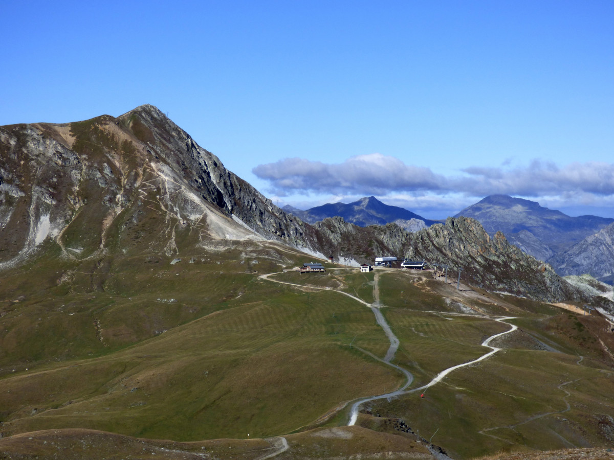
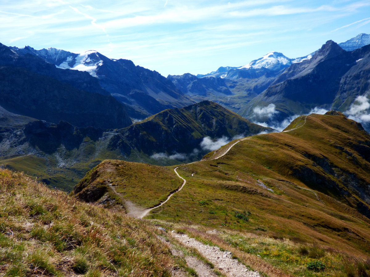
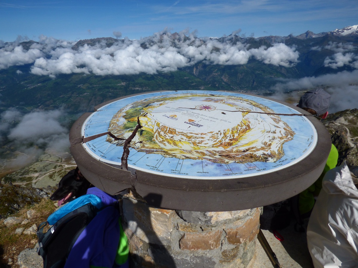
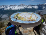
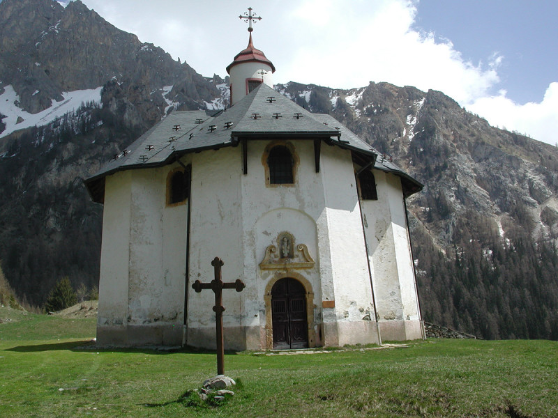
Magnificent path toward a jewel of the baroque art : la chapelle des Vernettes at 1800 m. Panoramic view from the top of Aiguille Grive.
Take the road that climbs behind the tourist office until the small shopping mall of Plan-Peisey. At the end of the shopping mall, turn right and pass by the restaurant "La Vache". Continue straight ahead to "Vieux Plan" and follow the road up to the chapel.
Ask the Tourism Office for the chapel openning hours and schedule of masses. In front of the chapel, take on the left then follow the signs to go to Entreporte's pass on a steep track before reaching the top of Aiguille Grive at 2733 meters Panoramic view !
Ask the Tourism Office for the chapel openning hours and schedule of masses. In front of the chapel, take on the left then follow the signs to go to Entreporte's pass on a steep track before reaching the top of Aiguille Grive at 2733 meters Panoramic view !
Pics
Pics
We also suggest...


