- Home >
- Les alpages de Rosset - Entre - deux - Nants - la Chail. (Boucle)
Les alpages de Rosset - Entre - deux - Nants - la Chail. (Boucle)
Track information
Elevation (m)
:
942
Distance (km)
:
11.5
Daily duration (minutes)
:
240
 Departure/Arrival
 Point of interest
Download
In short
- Type d'itinéraire :
- Levels of sporting experience :
- Level bue - easy
- Pedestrian sports :
- Pedestrian sports
- Hiking itinerary
Description
- Sitra promotion typology :
- Open air
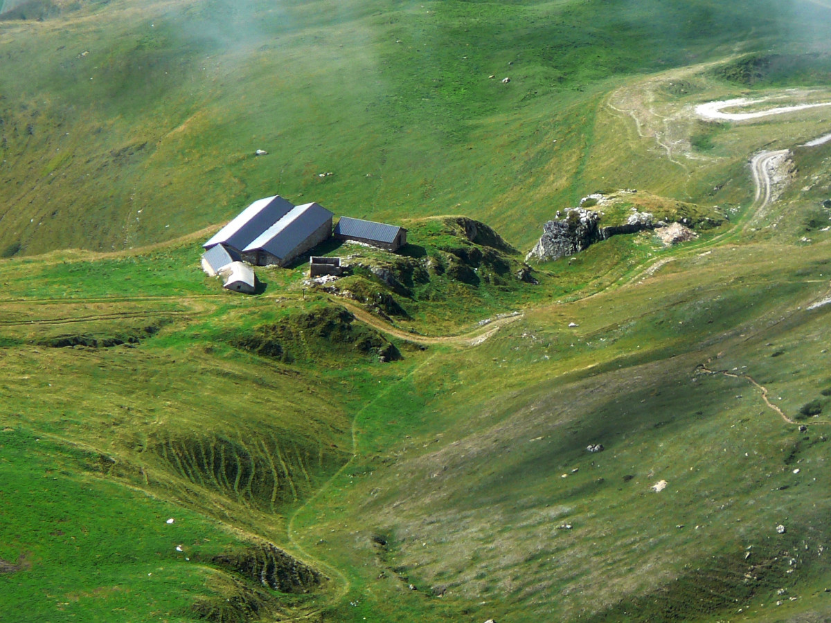
Family day hike. A beautiful herd of tarines graze here. Production of Beaufort-chalet-d'alpage
- From La Chenarie, (climb up into the Carroz Blanc forest, hook at the Croix Blanche and arrive at Prorionne, exit from the forest (welcome sign) from where you can see the whole valley.
- From the station via Les Vernettes
or via the col d'entreporte,
- from Beaupraz - les Lanches
- From the Col de la Chail!
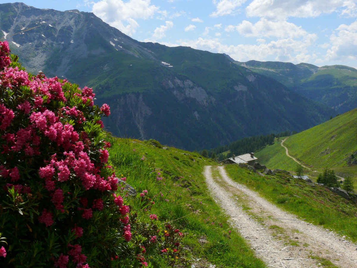
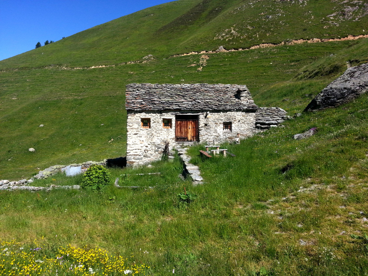
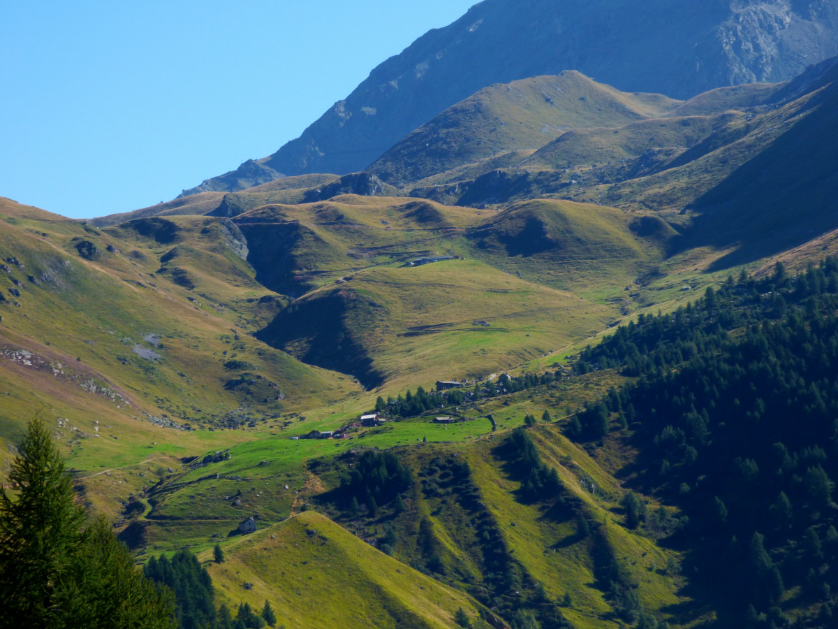
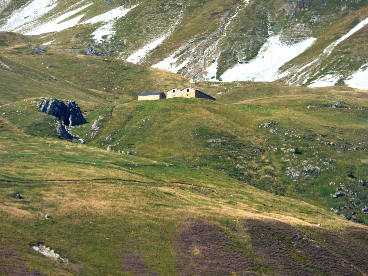
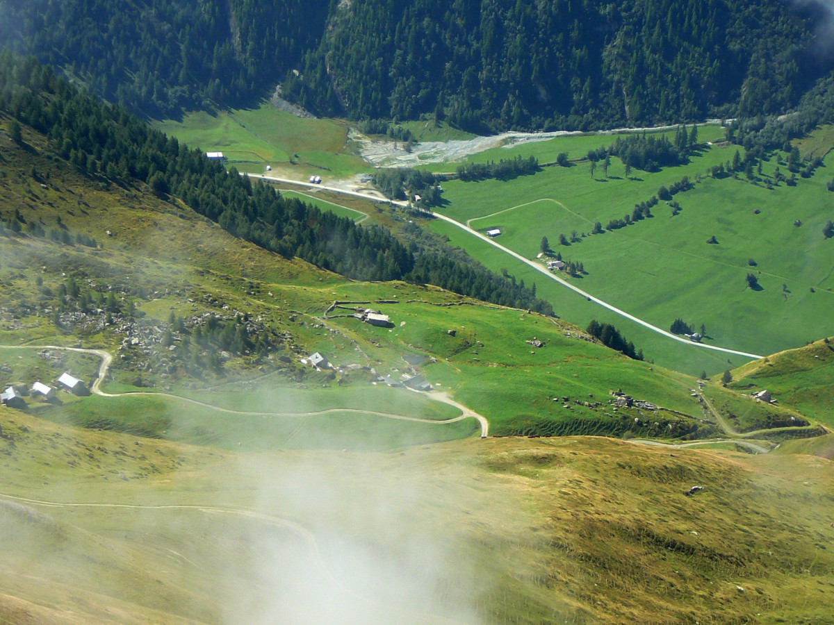
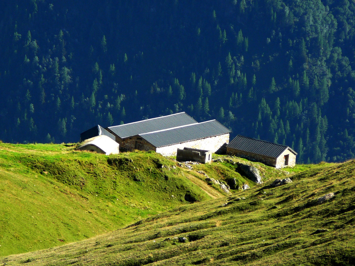
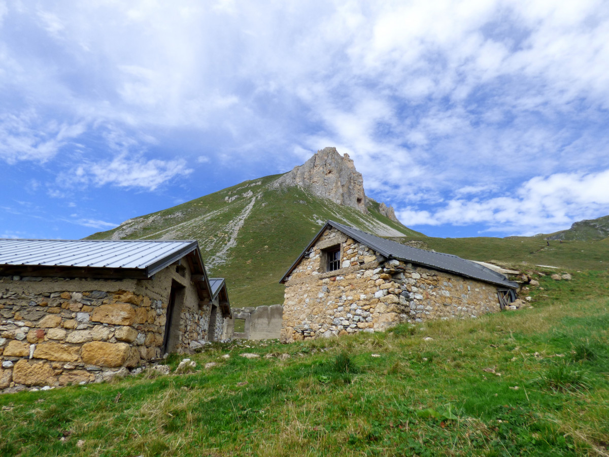
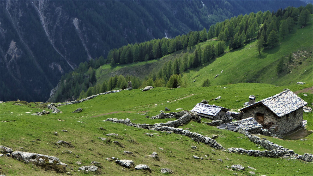
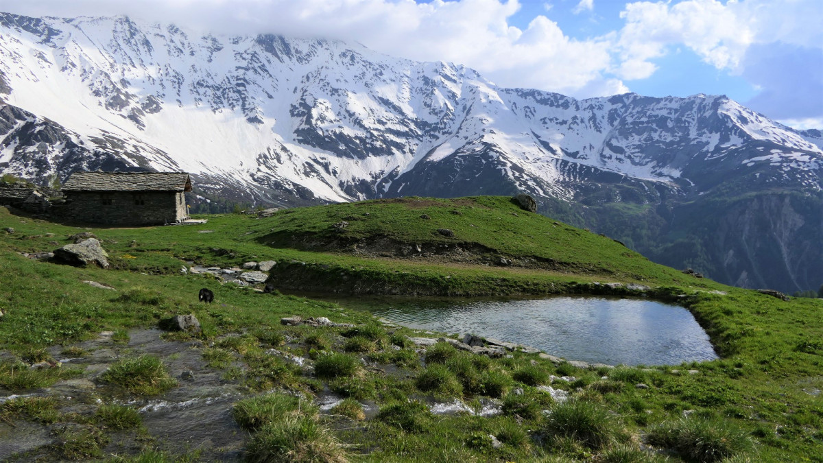
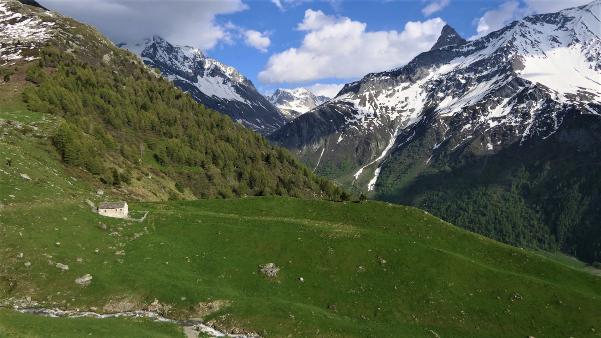
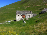
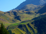
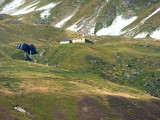
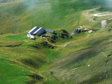
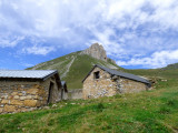
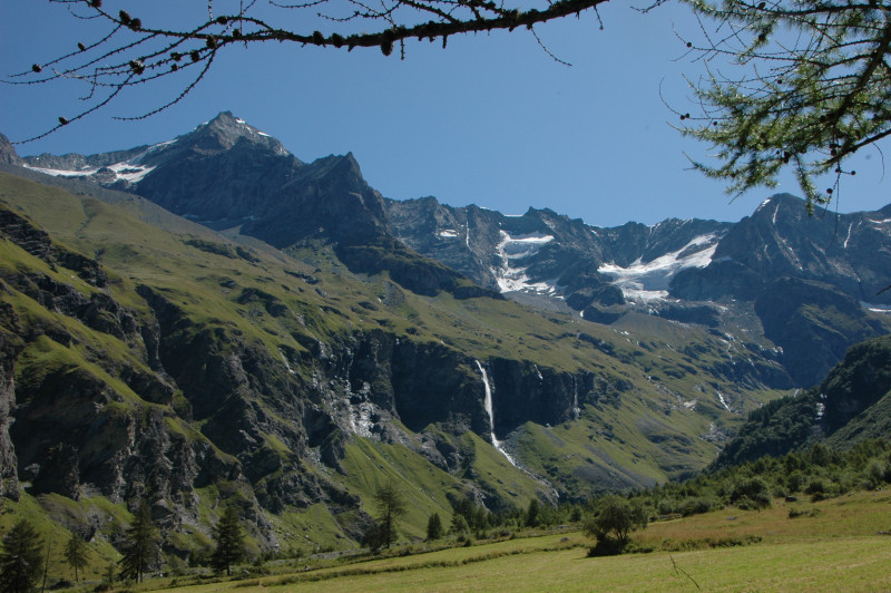
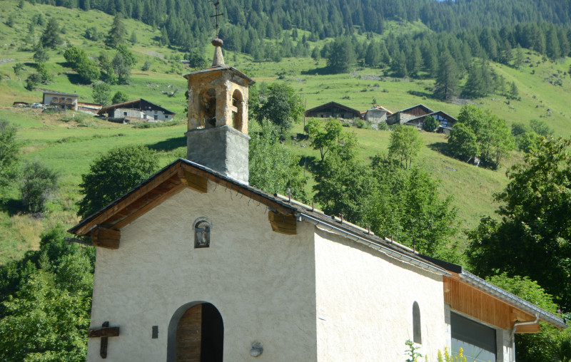
The alpine hamlet of Les Rossets has about ten chalets. The cows stay there in June - early July, then they go up higher (Entre deux Nants) and return to Rosset in September. There are many pastoral tracks and paths in this valley. You will see marmots. Depending on your condition, you can make the loop from one mountain pasture to another (Rosset, Entre-deux-nants, Plan-des-eaux, la Chail) in one direction or the other. You can also go as far as the Riondet lakes, at the top of the valley. The most fit will make the detour to the top of the aiguille Grive (orientation table)
Difficulty: medium. Uncontrolled drinking water in some chalets.
Pics
Pics
We also suggest...


